
Location: Route 137 and Mill Pond Road
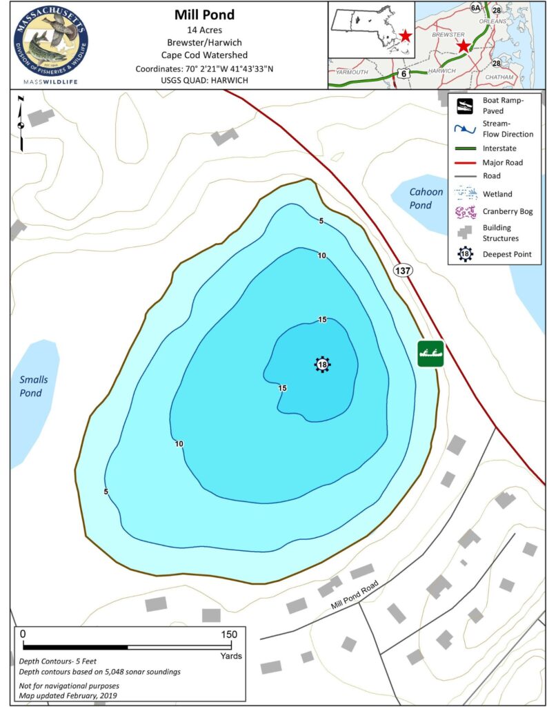
Size: 14 acres
Depth: 18 feet
Public Access: Limited
Recreation Activities: Fishing, Kayaking
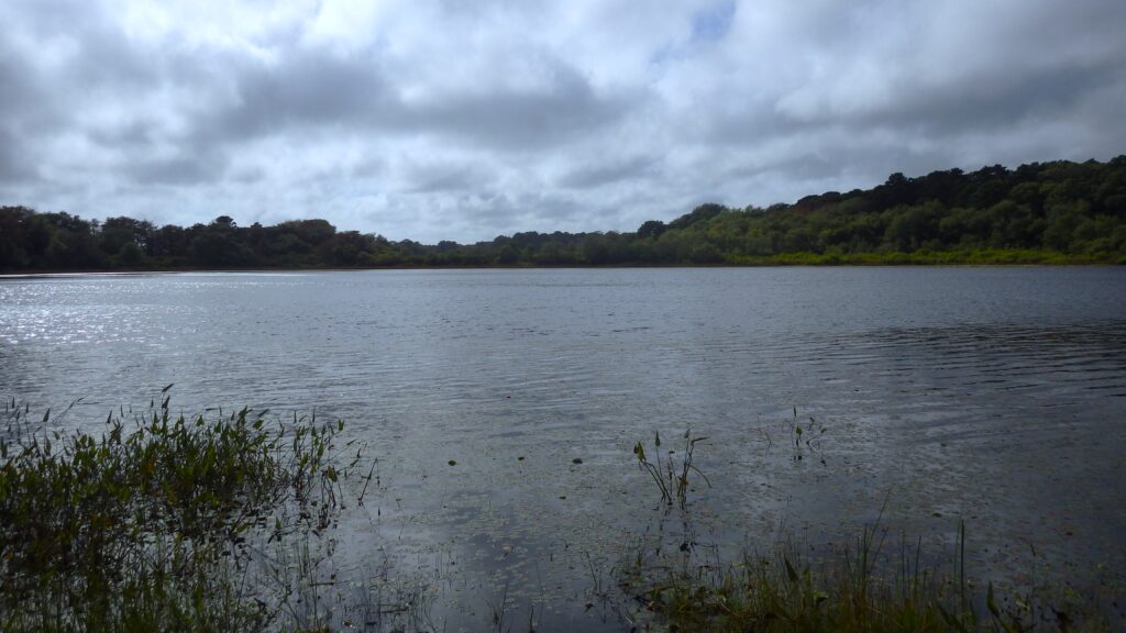
History: Mill Pond is located at the Harwich-Brewster border, east of the eastern end of Long Pond. The pond has been a focus of conservation efforts, with both Harwich Conservation Trust and Brewster Conservation Trust purchasing property to protect the pond’s water quality and sustain its access as a fishing pond.
Estimates of depth vary — the Cape Cod Pond Atlas shows maximum depth of 15 feet, while the Massachusetts Division of Fisheries and Wildlife bathymetry, shown below, gives a deepest point of 18 feet.
Mill Pond’s name derives from a windmill that was located on its northern shore, which was removed shortly after its roof was blown off during the great gale of 1816.
We welcome your input on this Pond Profile. If you have questions or comments, please contact us at info@harwichwaters.org.